Whether you're a commercial pilot or someone who flies for recreation, creating a detailed, well crafted flight plan can mean the difference between a smooth ride and a world of trouble.
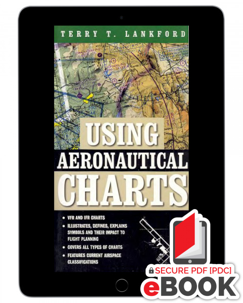
Using Aeronautical Charts is designed to assist pilots in pre-flight preparations and with in-flight decision making. It will help you transform these navigational tools into indispensable piloting partners. Through the book's easy to read, practical guidance, you'll:
- Master the specifics of VFR, IFR, and other charts.
- Understand the wide variety of chart symbols and their impact upon flight planning.
- Become familiar with the new RNAV charts.
- Stay up to date with current airspace classifications.
- And much, much more!
Using Aeronautical Charts is perfect for students, yet detailed enough for seasoned pilots. It delivers its lessons through a unique “Reader Challenge” format. As a result, you'll build knowledge as you progress, and rapidly move from the basics of chart interpretation to international operations and beyond.
Topics include:
- Projections and Limitations Projections Mercator Projection Lambert Conformal Conic Projection Polar Stereographic Projection Horizontal Datum Limitations Scale Simplification and Classification Currency
- Visual Chart Terminology and Symbols Topography and Obstructions Terrain Hydrography Culture Obstructions Aeronautical Airports Radio Aids to Navigation Airspace Navigational Information
- Standard Visual Charts Planning Charts IFR/VFR Low Altitude Planning Chart Gulf of Mexico and Caribbean Planning Chart Charted VFR Flyway Planning Chart Using Planning Charts Sectional Charts Terminal Area Charts Helicopter Route Charts World Aeronautical Charts Using Visual Charts Bridging the Gaps Checkpoint Considerations Back on Course Coastal Cruise
- Supplemental Charts National Imagery and Mapping Agency (NIMA) Visual Charts Global Navigational and Planning Charts Loran Charts Jet Navigation Charts Operational Navigation Charts
How To Get And Use Your Secure eBook with Safeguard Viewer
Secured eBooks are offered through a system called Safeguard Viewer which makes protected eBooks easier to read and view. The Safeguard Viewer application is compatible with Windows, Android, macOS and iOS devices. Visit this
LINK to get the Safeguard Viewer application. The Safeguard Viewer PDC files include all the familiar features found in standard PDFs. Our eBooks are authorized to use on up to six (6) supported devices. Your files are authorized to you and can be viewed online or offline. Secured PDCs may be used on any device that supports the Safeguard Viewer application The download process is three (3) easy steps:
- Install the Safeguard Viewer application found in your second email from licensing@actechbooks.com
- Download your license from that same second email. Note: A license is only needed once, if you lost your license, or change emails address, send us your email and order number and we will resend your license to download right away. Also, you will need to be online the first time you open your eBook, so your license can be authorized.)
- Open and enjoy your new eBooks and experience. Please let us know if you have any issues-anytime! techsupport@actechbooks.com

